Never Get Lost!
The Solution that solves the Dilemma of "Where to Go"

The Last Mile Maps solution utilizes cutting-edge technology to ensure compatibility and functionality with any device and operating system.

Discover your unique interactive digital maps which highlight only the services for your customers and/or use-case.

Your users will experience seamless experience with the Last Mile Maps, regardless of your device or operating system. The responsive layout ensures perfect usability on smartphones, tablets and desktops.

Thanks to a SMART SaaS solution, all maps, interactive icons, and connected services function perfectly on any device and with any operating system.

With routing and wayfinding features your users can find the best route suited to their mobility needs to reach any location.

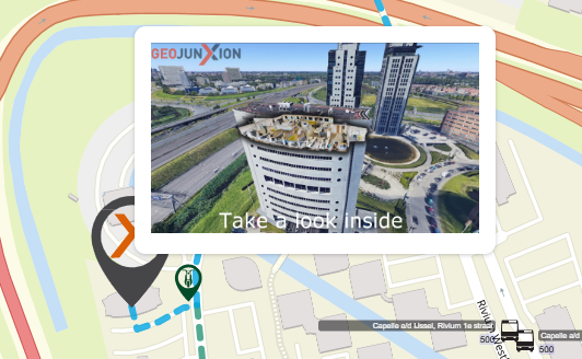
Embedding the Last Mile Map on your website has never been easier, thanks to the included iFrame codes with the service provision.

All Last Mile Map solutions and technology are 100% compliant with GDPR directives.
Last Mile Maps can be applied to any outdoor space, managing routing from the user's location -thanks to their smartphone's GPS- to their desired destination. The routing manager can calculate specific routes for users with different mobility needs and suggest routes for different types of users (visitors, security personnel, suppliers, etc.). Further, different transport modes can be selected such as car, RV, bike, pedestrian, wheelchair, etc.
Here are some examples of Last Mile Maps applications in specific scenarios:
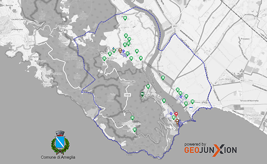
Georeferenced maps, like Last Mile Maps, are key to smart cities, enhancing visitor experiences in museums and archaeological sites, optimizing mobility for events, and providing dynamic, 24/7 information that demonstrates municipal sustainability, efficiency, and technology.
Discover the powerful functionalities of Last Mile Maps, designed to enhance navigation and user experience. From interactive points of interest to customizable routes, this suite of tools offers solutions for accessibility, real-time updates, and event management.
 Search tool for the best route to the desired destination with specific information for disabled individuals
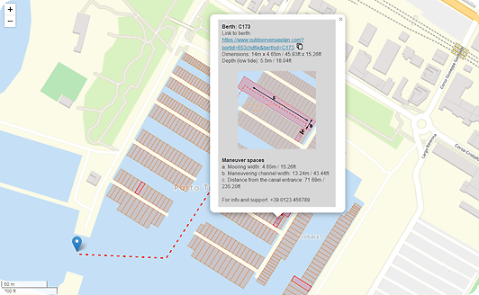
 Geolocate services and information of interest with links to web pages, videos, and 360° virtual tours
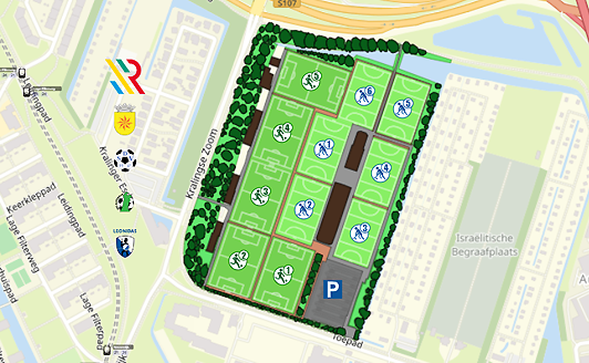
 Specific information layers for different user types: visitors and customers, operators and staff, suppliers, emergency services, etc.
 Display specific routes for disabled individuals, ensuring the best possible experience for all users
 Real-time alerts with location indications help users make the most of their experience
 Real-time connections to dynamic information (public transport schedules, parking capacity, etc.)
Access live information - when available - with Last Mile Maps' dynamic data features. Real-time updates on parking, traffic, and public transport ensure your visitors are always informed and can navigate efficiently.
 Manage dynamic data to provide real-time parking availability information
 Real-time traffic conditions with alternative route suggestions to the location.
 View roadwork status along the route to improve the experience before arrival
 Real-time display of public transport schedules, stops, delays, etc.
 View sharing zones (bike, scooter, etc.) with availability, costs, and routes
 Dynamic display of school alert zones and peak traffic times
 Indicate low-emission zones, transit times, and access regulations for different vehicle types
 Real-time alternative route suggestions in case of user flow congestion in certain areas
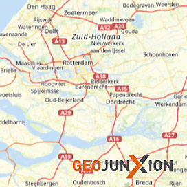
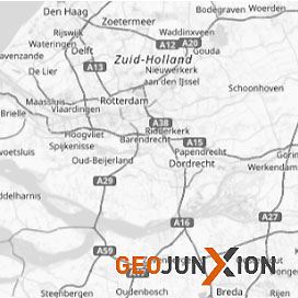
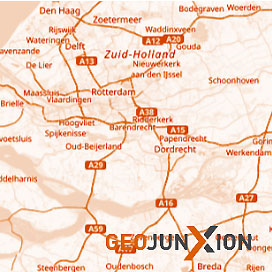
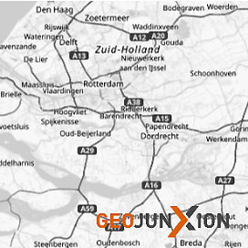
Choose from a variety of map types to customize the mapping experience to your specific needs and context.

Personalize your OpenStreetMap interface with Geojunxion's layout options, featuring distinct styles such as dark, gray, and orange themes, allowing for aesthetic consistency across applications.